Sea level explorerUPSCprep.com
Loading the map
Present day
sea level, as today
Map layers
Legend
Sea at the chosen level, darker with depth
Land, tinted by height above the chosen level
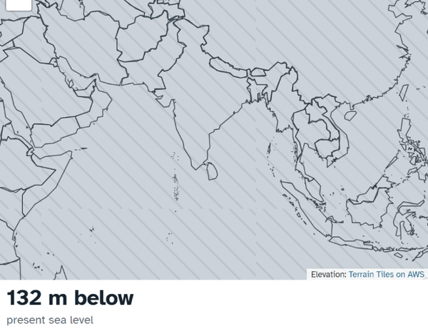
Land that is dry today but under water at this level
Seabed that is under water today but exposed at this level
Inland basin below sea level, not connected to the ocean
Click or tap any point on the map to see its elevation.
Elevation data and settings
Impact tables
Waiting for country boundaries.
Uses the India detail table (about 1.2 km per pixel) where available, otherwise the world table (about 4.9 km per pixel). The Maldives and other atoll nations are poorly resolved at both.
Each figure is the seabed exposed inside a rough box drawn around the named shelf, from the world table. Boxes overlap land, but only seabed is counted.
Click a country on the map or a row in the table.
Bathtub model: any land lower than the chosen level is shown as sea, with inland basins masked. It ignores ice sheets, land rebound, erosion and sediment. Elevation from
Terrain Tiles on AWS (Mapzen, built from SRTM, GMTED2010, ETOPO1, 3DEP and other public sources).
Boundaries: Natural Earth.
Vertical accuracy of the elevation data is several metres in most places, so 1 m steps are indicative only.